Charming Fruita, Colorado is located on the far western side of Colorado, just 12 miles east of the Utah border, (as the crow flies).
In fact, its location is so far west in the state that a person staring off in Fruita could drive 6 1/2 hours straight east on Interstate 70 before leaving the state and going into Kansas.

Although its part of an area commonly referred to as “northwest Colorado,” it’s not really north or south Colorado; more “centerish.” The small town in Mesa, County is roughly half-way up the very straight Colorado/Utah border and is the closest town to Grand Junction.
Map of Fruita, Colorado
The black star below marks the town of Fruita, Colorado.
Latitude and Longitude of Fruita, Colorado
Latitude: 39 08′ 60.00″ N
Longitude: 108 42′ 59.99″ West
Grand Valley
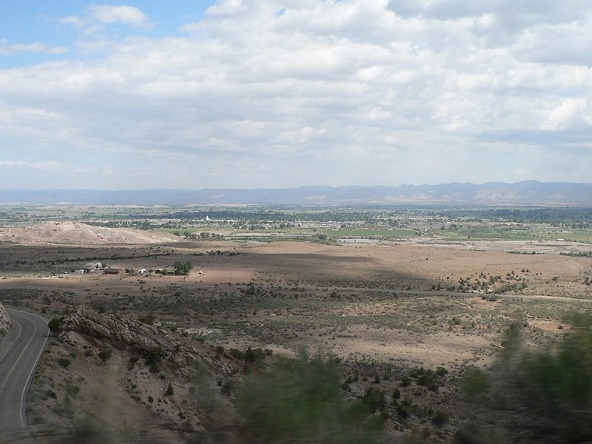
Fruita is one of three major towns (along with Grand Junction and Palisade), that makes up an area locals call “The Grand Valley” – a flat basin between the Colorado River to the south, and the Bookcliffs hills to the north.
Grand Junction, the largest town in Western Colorado, lies 12 miles east of Fruita.
Although it boasts over 13,000 residents, Fruita remains pretty rural. Even more rural towns such as Loma and Mack , are situated 6 and 10 miles away respectively. Fruita acts as a mini-commercial hub for these rural neighbors to the west.

Fruita Surroundings
Fruita is the first Colorado town you reach when driving Utah on I-70.
There are pull-outs before Fruita of course, and access roads leading to the aforementioned Loma and Mach, however Fruita is the first town drivers reach that offers gas stations, restaurants, hotels and the like. Despite the number of visitors they receive (over 700,000 per year), there is just one major grocery store in Fruita.
North of Fruita
North of Fruita are lush farms, followed by dessert and BLM (Bureau of Land Management) land practically all the way to the Wyoming border.
South of Fruita
To the south of Fruita, past the Colorado River, you’ll find famous dinosaur dig sites, McInnis Canyons National Conservation Ara, and the west entrance into the beautiful, Grand Canyon-like Colorado National Monument. There are two RV parks in Fruita, including one at the pretty James M. Robb Colorado River State Park.
Areas north and south of Fruita are full of hiking and biking trails, which bring to the community countless outdoor recreation visitors each year.
East of Fruita
East of Fruita is sort of an unofficial buffer zone between the towns of Fruita/Grand Junction, followed by housing and commercial areas all the way past Grand Junction to Palisade to the east.

West of Fruita
Finally, west of Fruita (beyond Loma and Mack), is where you’ll find, well, nothing. It’s basically empty desert for countless miles into Utah west to both the turnoff to Moab, and further along to Green River, Utah. This area west of Fruita is so desolate, it makes for a decent “dark sky” viewing area on nights when there is celestial activity like meteor showers.
Fruita, CO Location FAQ
Q. Is Fruita in Colorado or Utah?
A. Fruita is in Colorado, just east of the Utah border.
Q. What county is Fruita, Colorado located in?
A. Fruita is located in Mesa, County.
Q. How far is Fruita from the Utah border?
A. Fruita is located just 12 miles from Utah, as the crow flies, however it’s a 20 mile drive on Interstate 70 from the Utah/Colorado border to the first exit into Fruita. This equates to a roughly a 20 minute drive from the Utah state line into Fruita.
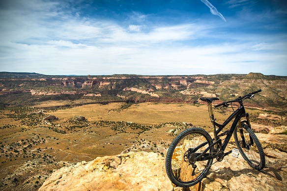
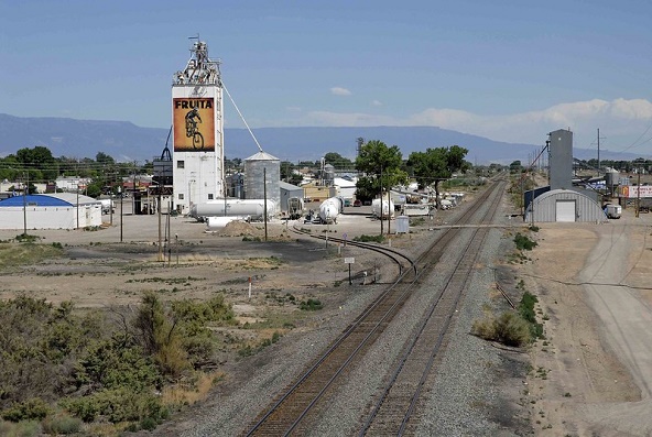
(By Steve Beauregard. Photos courtesy of Rick Kimpel Jeff Foster and Zach Dischner (top photo) via Flickr.
